On borders and exploitation
What does the line that defines Medway mean and can others take advantage of it?

If you’re reading this, you’re probably somewhat familiar with the geography of Medway.
Five towns and the peninsula is the shorthand we use to describe our area, but how accurate is that?
That kind of simplification removes Cuxton and Halling from the equation, nor is it nuanced enough to explain that parts of even the main towns often sit outside of our borders.
So today we’re going to look at the border of Medway, and try and answer once and for all: What is Medway and what isn’t?
Of course, none of this has a definitive answer. For this exercise, we’re going to use the official map that defines the area that Medway Council administers, but that doesn’t necessarily reflect people’s reality in our communities. If you’re on the edge of Medway and spend most of your time in Medway, it’s easy to regard those areas as being part of our towns. But things are rarely that straightforward.
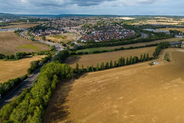
Before we even begin to go in-depth on this, it’s clear from the top-level map that the shape of Medway is slightly strange. Much of this is down to Medway being formed out of existing local authorities in 1998, and no changes were made when that happened to make the borders a little more sensible.
So this is what we have:

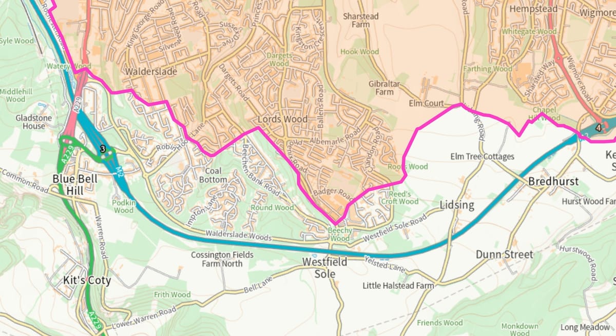
At first glance, the most baffling parts of our border are the areas through Walderslade and Lordswood, and we’ll come to those later as they are even worse than they appear here.
We’re going to work through the border, broadly west to east, looking at the places that are on the edge, that maybe should be in Medway, or maybe shouldn’t.